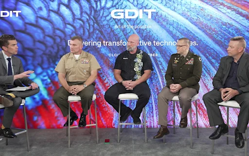


Having spent more than 20 years in the geospatial community, most recently as a Geospatial Functional Expert at GDIT and a career as a former U.S. Geospatial Engineer, I understand the role that geospatial analysis plays in securing our national interests both at home and abroad. I was exceptionally pleased to represent GDIT and our partners to help contribute to the continued growth of the geospatial talent pool in St. Louis.
Together with Dr. Freddie Wills, the Vice President for STEM Initiatives and Research Partnerships at Harris-Stowe State University, and staff from the National Geospatial Agency (NGA), ESRI, and local small businesses, we developed a program of engaging and informative courses that would introduce basic geospatial concepts to a group of students and set them on a path toward fulfilling careers in this exciting domain. We had enough material to create four weeks of content for what became known as the Harris-Stowe Summer Immersion Program.
The GDIT-sponsored portion of the curriculum was a two-part course focused on how to obtain geospatial data, clean it, fill gaps, and then analyze it. Every aspect of the course was intentionally designed to cover the basics of working with geospatial data.
In the first course, students learned about databases and data curation, which involves many aspects of geospatial data management such as the collection, maintenance, preservation, and the updating of spatial data. Students also learned about the challenges sometimes associated with data curation and cleaning, among them the lack of knowledge of what “right” data looks like, the inability to edit data, missing source data (metadata), and having insufficient tools to contain the data. We walked through common solutions to these challenges, as well as how to prevent them from occurring in the first place.
The second portion of the course was about scenarios, namely, about how to communicate scientific concepts related to Geographic Information Systems (GIS) and geospatial analytics. In this section of the course, students learned how to present data and information via storytelling in a way that would drive understanding. To do it, the students used ArcGIS StoryMaps, a story-authoring web-based application that allows users to share maps in the context of narrative text and other multimedia content. The students also built custom web mapping applications with ESRI data in ArcGIS.
The course ended with a capstone project that included a briefing to geospatial community professionals, including NGA leadership. This element of the course also included tips of developing and giving geospatial presentations, complete with presentation techniques and speaking tips.
At the course’s conclusion, the students were confident in their ability to find, store, and clean data and to use it to tell compelling stories. The presentation training included in the course is sure to benefit them no matter their ultimate career choice. The skills and products they developed with the applications will serve them well for years to come. I am looking forward to next year’s class of trainees and working collaboratively with partners to iterate and evolve the content to remain aligned with this ever-changing and dynamic field.